New Deals Added Daily. Browse 9,000+ products including — electronics, vintage decor, apparel, tools & more — all inspected, priced to move, and ready to ship.
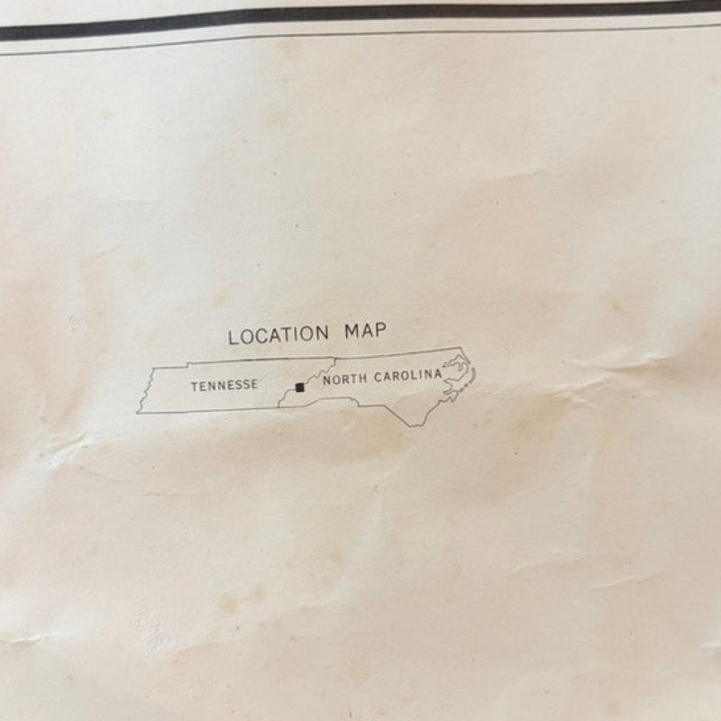
Vintage U.S. Geological Survey topographic map titled “Great Smoky Mountains National Park and Vicinity,” featuring the full park boundary outlined in bold red relief contours. This 1972 revision details regional summits, valleys, routes, and contour lines compiled by the USGS and Tennessee Valley Authority. Printed on off‑white paper with red boundary markings and light blue hydrology. Shows significant tearing at the top‑right corner and edge wear from years of handling. From our Mother’s Estate. Measures 36" x 29" edge to edge. Classic rustic cabin décor and collectible cartography.
Features: Vintage 1972 USGS map Great Smoky Mountains NP TN/NC border topography Rustic cabin wall décor 36" x 29" size